

VIS Line Scanner
OPTIMARE VIS LINE SCANNER
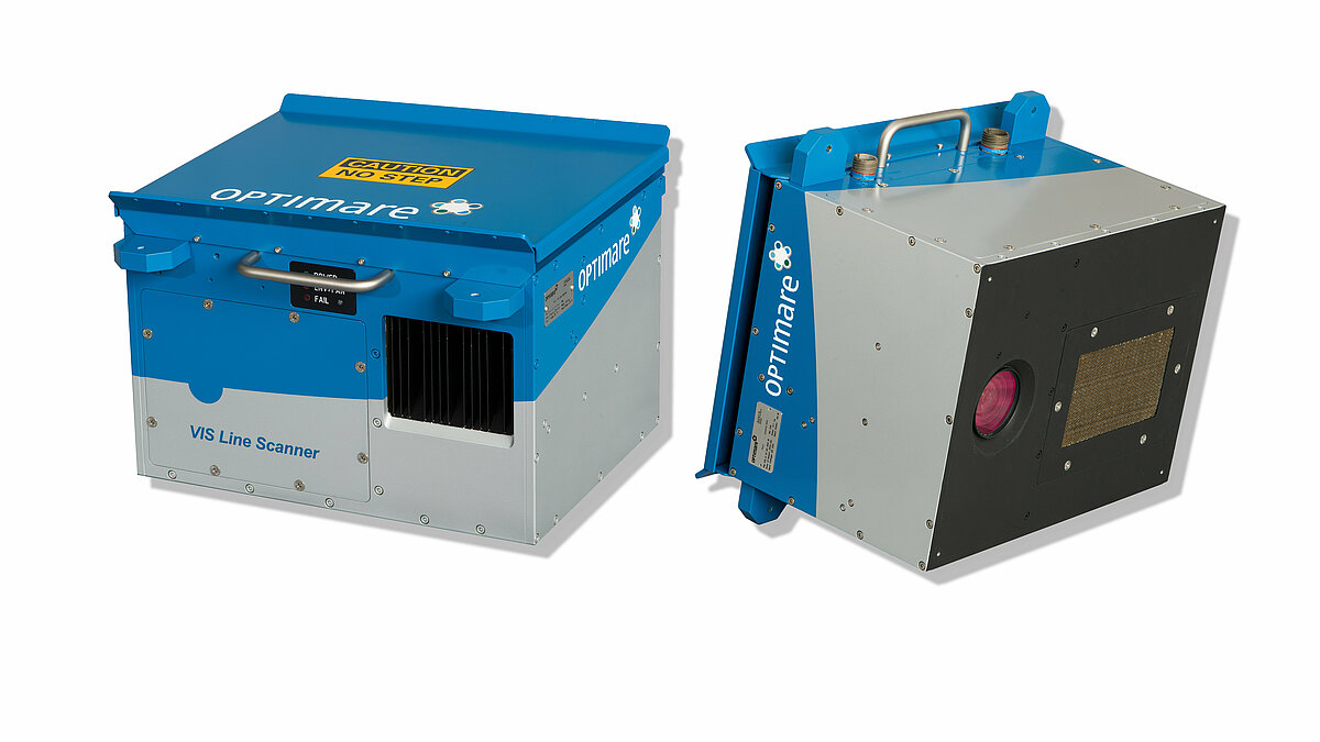
The OPTIMARE VIS Line Scanner is an auxiliary tool for various airborne remote sensing applications including airborne maritime surveillance. The ruggedized and lightweight sensor is used to acquire highly resolved geo-referenced Red/Green/Blue composite images. These images can be used for scene documentation and volume estimations based on oil appearance codes.
Like the OPTIMARE IR/UV Line Scanner the sensor has a Field of View of 90 deg and is therefore also used as a spectral expansion of the IR/UV system.
If you have questions please get in touch with us.
-
 Download:
Handout VIS Line Scanner
APPLICATION
- Airborne acquisition of highly resolved geo-referenced RGB composite images
- Detection of features on the sea surface such as oil spills, chemical plumes and biogenic slicks
- Documentation of the scene (oil spills, accidents etc.)